Direct Answer
Retail-source cross-check: Named regions, village index, and map-system rules are cross-checked against current launch documentation and route coverage. Exact collectible coordinates and reward pins require screenshot-backed confirmation and are labelled accordingly below.
The Blood of Dawnwalker Vale Sangora regions form a dense open world with forests, plains, swamps, steep mountains, medieval settlements, forgotten ruins, shrines, secrets, and points of interest. This page combines the verified launch map index with clearly labelled coordinate and reward notes.
Official pages describe a world shaped by player action and inaction. Preview material adds that exploration does not continuously spend the 30-day timer, which makes scouting safe until a marked activity shows a time cost. That distinction is important for anyone planning a first route.
Known Regions And Landmarks
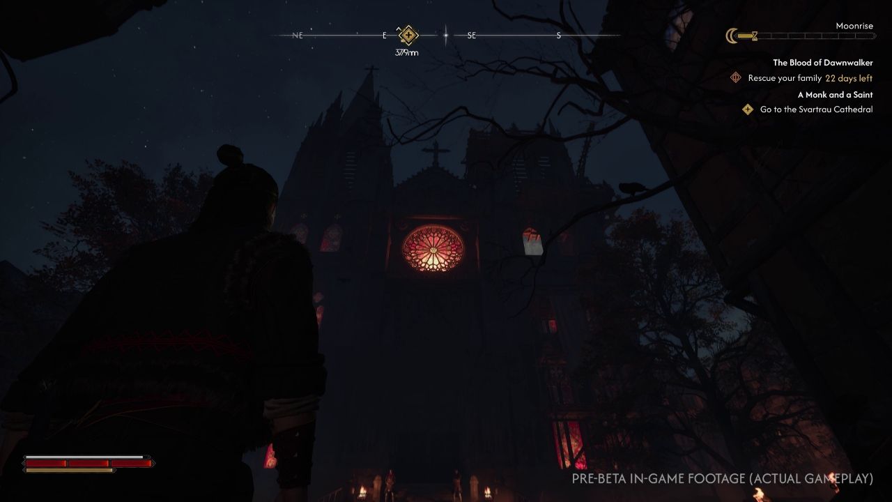
The official material names Vale Sangora as the main setting and places the game in 14th-century Europe. It describes lush forests, vast plains, treacherous swamps, steep mountaintops, medieval settlements, forgotten ruins, and remnants of an ancient civilization. Launch-trailer material also connects the story to the Carpathian Mountains.
Collected preview material mentions roadside shrines, vantage points, enemy camps, warehouses, ruins, caves, settlements, and wilderness encounters. Some details come from previews rather than final-map testing, so precise coordinates and reward routes remain unconfirmed. Still, the theme is consistent: the world is meant to be explored through decisions, not only map icons.
The current map reference identifies five major regions and eight village settlements. Use those as the top-level navigation, then layer shrines, ruins, merchants, quests, manuals, and gear beneath each region. A full community map lists more than 100 shrine markers, so do not compress all fast-travel points into a single generic location pin.
Region index
Region | Useful first markers --- | --- Laslea Glen | Laslea, Laslea Gate shrine, prologue roads, early vendors Briar Sloughs | Mert's Mill, Vera's Witchcraft lead, Cursed Chasm approach Maragir Wealds | Maragir and the eastern Ancient Circle Svartrau | Neustadt, the Midden, Mevasser, and the city's central square St. Tyna's Grove | Crossroads Inn and Anca's later vendor location
The region names and marker types are a navigation starting point, not a replacement for a screenshot-backed coordinate map. Add exact pins as each location is verified in the current patch.
How Exploration Works With Time
The most important map rule is that exploration itself is not a real-time countdown. Collected sources explain that time moves when certain quests, activities, dialogue choices, training actions, or marked objectives consume time segments. Actions that spend time should be shown with an hourglass or a visible cost.
That means players can learn roads, inspect settlements, mark leads, and scout the landscape before committing to a time-spending action. The smart route is to explore until several meaningful options are visible, then choose which objective deserves the next segment. Do not assume every interaction is free; check the interface before confirming.
Shrines And Route Planning
Shrines appear in collected gameplay material as important open-world nodes. They can function as fast travel points, rest locations, storage access, and skill-upgrade points once restored. Some shrines may need a missing heart or key item returned before they work.
Because skill upgrades can require time, manuals, skill points, or corruption, a shrine is more than a convenience marker. It is a place where build planning and route planning meet. Fast travel time cost is not confirmed unless confirmed by the final build.
What To Record In The Retail Build
A useful map reference records region names, shrine locations, roads, settlements, enemy camps, haunted sites, ruins, treasure leads, safe rest points, merchants, and any activity that spends time. Separate day-only, night-only, and both-phase opportunities because Coen's form can change what is possible.
Avoid filling the map with guessed pins from trailer screenshots. Use only direct play evidence, official maps, or confirmed route notes. If a location name, enemy level, reward, or time cost is uncertain, mark it not confirmed.
Keep The Map Verified
Use direct play evidence for world size, region boundaries, collectible counts, point-of-interest totals, map coordinates, fast-travel costs, and route order. Date-stamp changes when patches alter locations, rewards, or quest availability.